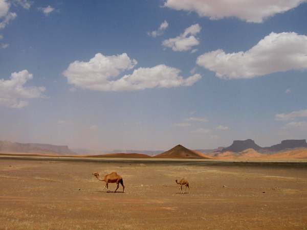
Jeddah is surrounded by coral desert -- the countryside is flat and rocky and grayish-yellow. About 300km north from Jeddah, as one approaches Medina, the landscape becomes more hilly and interesting. The hills consist mostly of lava stones, so they are dark and add a nice contrast to the desert sand below them. We saw very few trees on the way, but this changes as one approaches Medina.
Medina is where Mohammed travelled to after he was exiled from Mecca. It is one of the two holy cities of Islam, and as such it can not be visited by non Muslims. The night had already fallen as we came close to Medina, and I could see the many lights, and in the center of the light the eight minarets of the Prophets Mosque. Medina al Munawarra means "The city of lights" in Arabic. I really wanted to see more, but could not.
As we came even closer city of lights, we came to a crossroad where one road led to Medina, around led around it. We chose the latter one. However, it was dark, and however we drove from here on, whichever way we took, we kept coming to roads that led to the city centre, not away from it. It seems that, in this part of the world, all roads do not lead to Rome, but to the City of Light. And we were not allowed to it. In the end somehow we got tangled out and managed to continue our drive northwards.
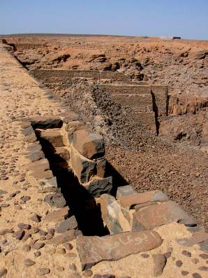
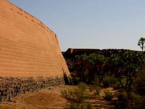
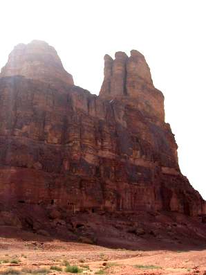
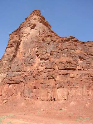
Our first major stop on our way north from Jeddah was Khaybar Dam. There are actually several of them, and this one is called Sadd Qasr al-Bint. It is one of the largest ancient dams in the Kingdom. Nobody really knows, but there are stories that it had been built by the Queen of Sheeba. There is evidence about it being pre-Islamic.
It is a big stone construction on a dried out river bed. Although it had been breached for about one third of its length, it is nevertheless an impressive 20 metres high and about 135 metres long.
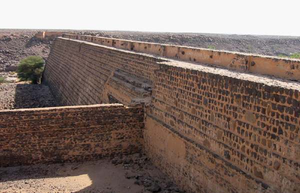
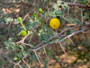
The upstream face is plastered with yellow mortar, the downstream face with bare stone. We camped at the base, among the quiet acacias and dhoum palms, where there wasn't much chance of being overlooked. It is a pity there was no water in the wadi.
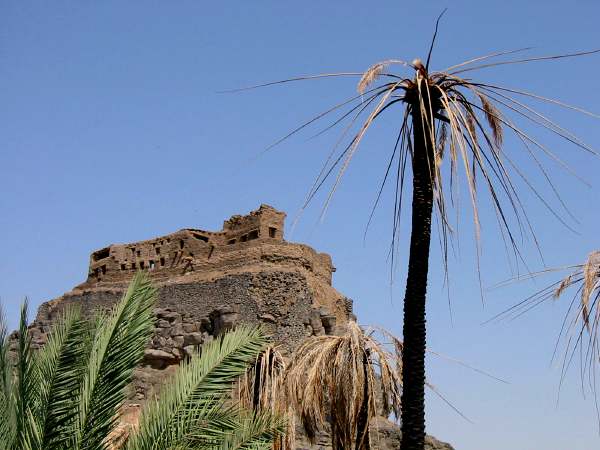
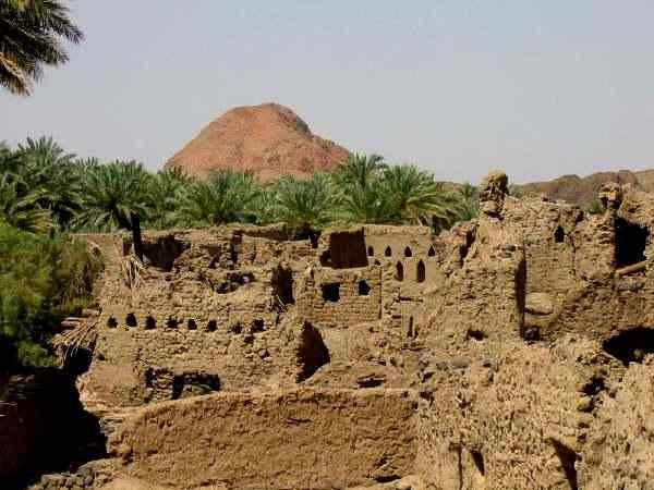
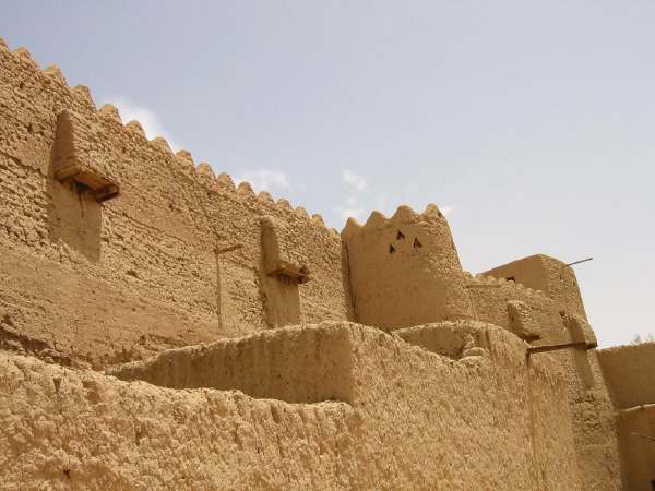
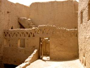
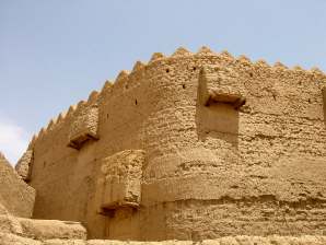
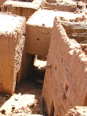
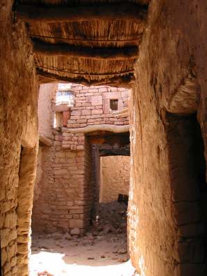
Khaybar village was a Jewish settlement in the time of the Prophet. There was a political disagreement at some stage between the villagers and the Muslim majority around them, and the villagers got in trouble. One can still see the old fort where they stuck out for eight months living on dates and milk.
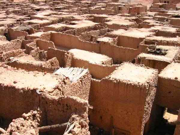
There are many mud houses and a date palm oasis and many charming narrow crooked streets, where we got completely stuck with our 4WD, and to this day I don't know how we got it out in reverse. Of course, this place is a long way outside the reach of any mobile signal stations, so we could not call for help.
Anyway: the place is now completely deserted, and to me it seemed like a perfect archaeologist's dream. There are many stories to feed the imagination, tales of plague, witches, and treasure at Khaybar, which is why all the roofs have been removed -- people believed that the villages hid their treasure under their roofs.
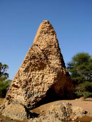
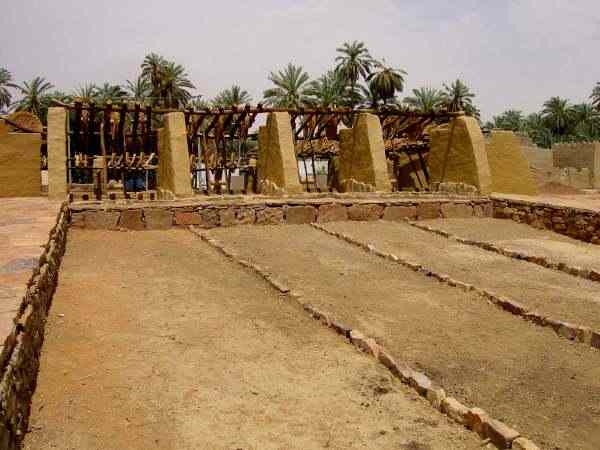
This is the Tayma well, about 2500 years old, and mentioned in the Bible. The well is called the Bir Haddaj.
[Isa 21:14.7] The inhabitants of the land of Tema brought water to him that was thirsty, they prevented with their bread him that fled.
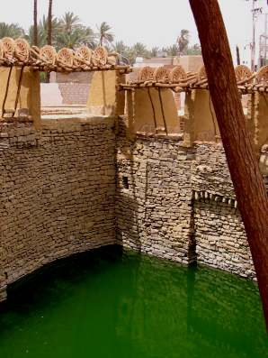
I don't think anyone would want to quench thrist from the well as it stands today.
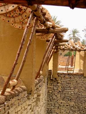
The water was pulled up by camels, working in their designated tracks. Organisation!
The famous Tayma stones, inscribed in the Aramaic of two millenia or longer ago, are now in the Louvre, but thousands of other inscriptions of pre-Islamic Thamudic script have been found in the area and are stored in the city museum. To which we were not granted entrance, because the guard would not let people in during weekends. Because the museum is closed all weekend, every weekend!
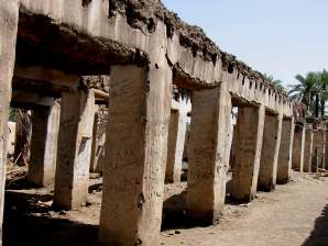
There was the old Amir's fort. It is of less historical significance then the well and the things in the museum, but nevertheless a fascinating place to explore. It is abandoned, as most of old things in Tayma (except the things in the museum!), and it sports a warren of passages, small rooms, pillared halls, an inner courtyard and stairways leading to the roof. It even has a bat room, and we woke them up when we should not have. Now I know how the bats attack. It took me ten minutes to clean up.
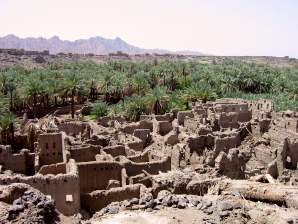
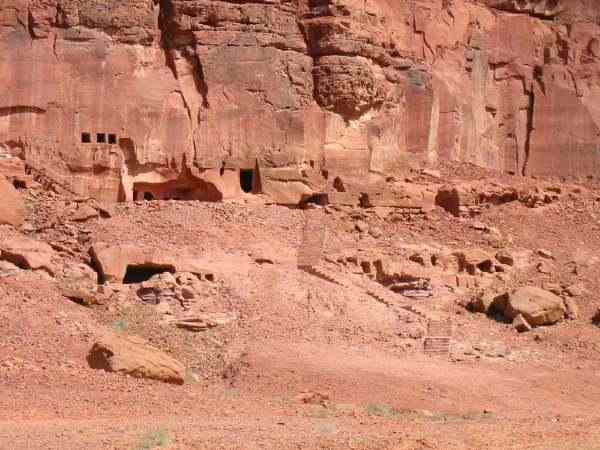
About 2 km north from the modern town of Al Ula, are the ruins of what used to be the ancient capital of the kingdom of Dedan, which flourished in the first millennium BC. This place is the Biblical city of Dedan, of the Dedanites. Again, we found it empty, deserted and seemingly unexplored. At least the roofs were still on here.
The sandstone landscape around Al Ula is spectacular.
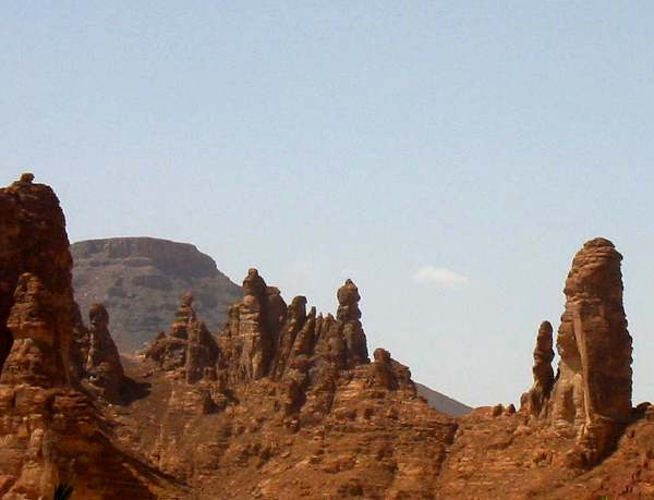
In the ruins by Al Ula there are inscriptions that indicate the Dedanites were preceded by a Minean settlement. The red sandstone cliffs close to the ruins are pitted with simple square Minean tombs, among them the famous lion tombs.
Most of these sites are fenced off and guarded, and one needs a permission to enter the fence. I have to admit that we have jumped one fence or two. This story explains why we resorted to such extremes. For this site, we had a written, and named, permission from some sort of ministry of archaeology to visit. However, the first time we came by, at 4PM, the guard was asleep, and his children were given strict instructions not to wake him up. Next morning, we tried again, but this time he simply was not in the mood to let us in. He looked at the letter, and said that the month is wrong. The date was written in the western calendar, and not in the Islamic one. We tried to explain this, but he would not hear any explanations. In the end, we left and decided that this fence was not worth the risk, since he had too much of a view of the whole area. But we risked another later.
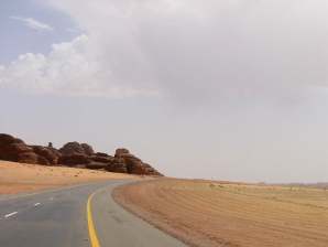
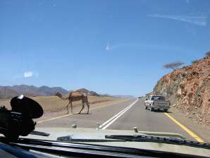
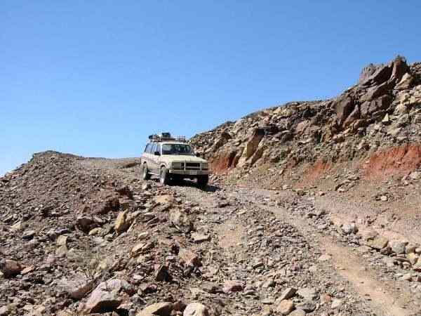
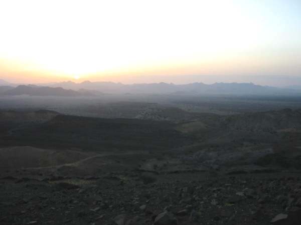
Finally, some images from the road, and off the road:
Jebel Antar is the mountain from where Lawrence of Arabia did his bit of trainspotting before he blew up his share. Or a bit more.


|
page 10 of 12
Silvija Seres, 25 April 2002